![]()
![]()
Coastal Flood Risk: Dispelling Mapping Myths
It is easy to misrepresent data to produce certain reactions. Climate change has inherent uncertainties which are acknowledged by scientists in the IPCC reports. However, sometimes data can be presented in a way which creates fear.
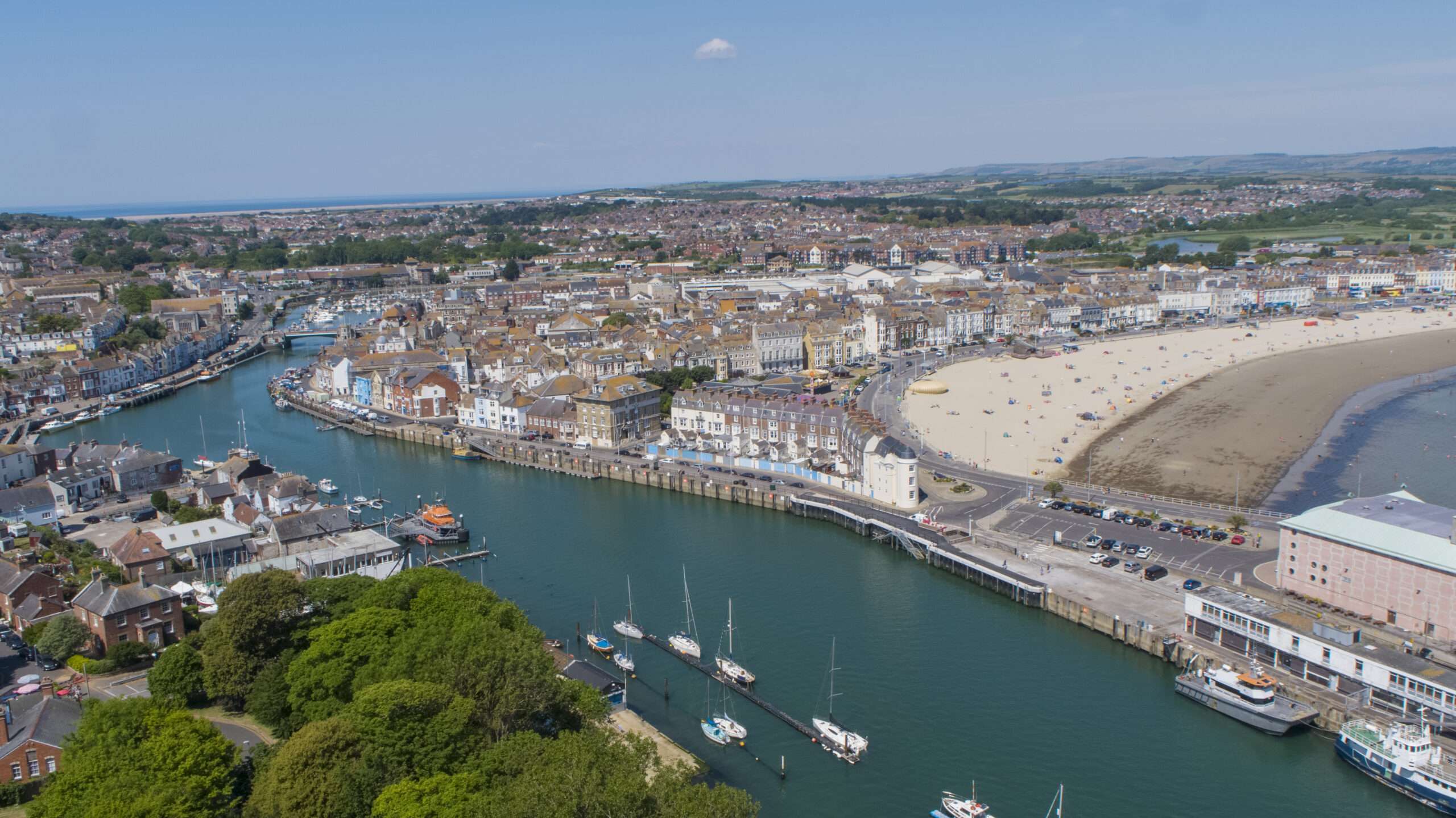
At a public drop in event held in our Weymouth BRIC pilot site, a resident attended who lives on the harbourside. She was clearly extremely worried about flooding and wanted information about whether she needs to move house, build a barrier, or whether she is just going to be flooded no matter what she does. It turned out that she had seen an article in a local newspaper which claimed that major areas in Weymouth will be permanently underwater by 2030. This article was misinformation, as the mapping presented was based on the ‘worst case scenario’ for climate change under which there would be a 10-metre rise in sea level.
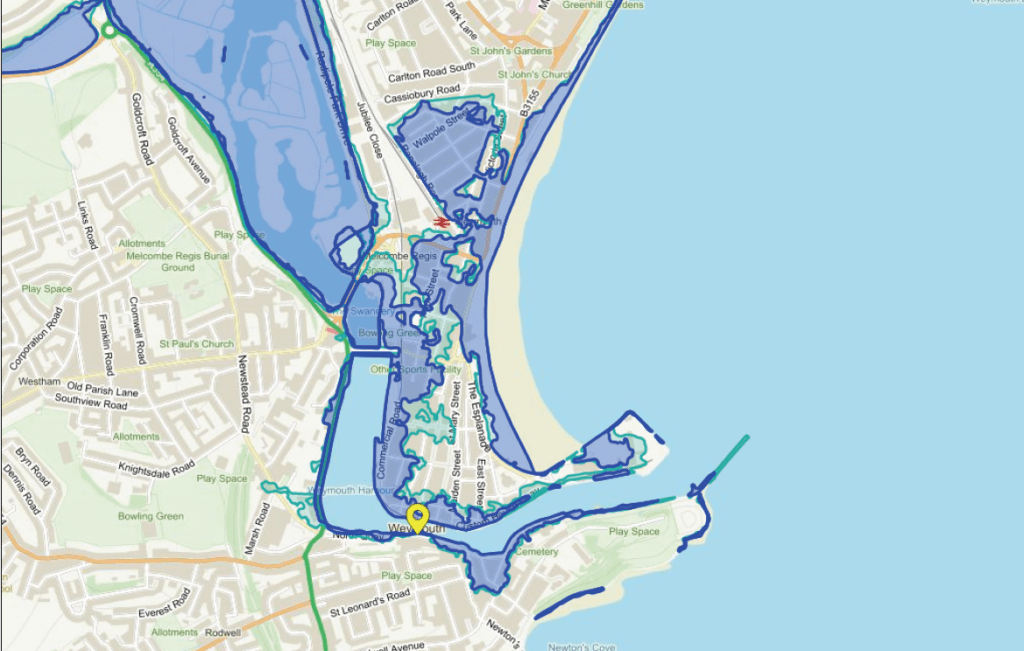
We were able to reassure the resident by explaining how these maps work, along with what is being done to protect Weymouth and what she could do to increase her own resilience. We provided her with information about how she could protect her property and prepare in case a flood does occur.
She was appreciative and said that she felt “much better about the whole situation”. This showed us the importance of communicating the risks of climate change in a way which empowers people instead of fearmongering. We do acknowledge the need to highlight the complexities and risks of flooding, but we must do so while providing solutions.
BRIC is an Interreg France (Channel) England funded project who are supporting communities at risk of flooding to plan ahead, act quickly and recover well.