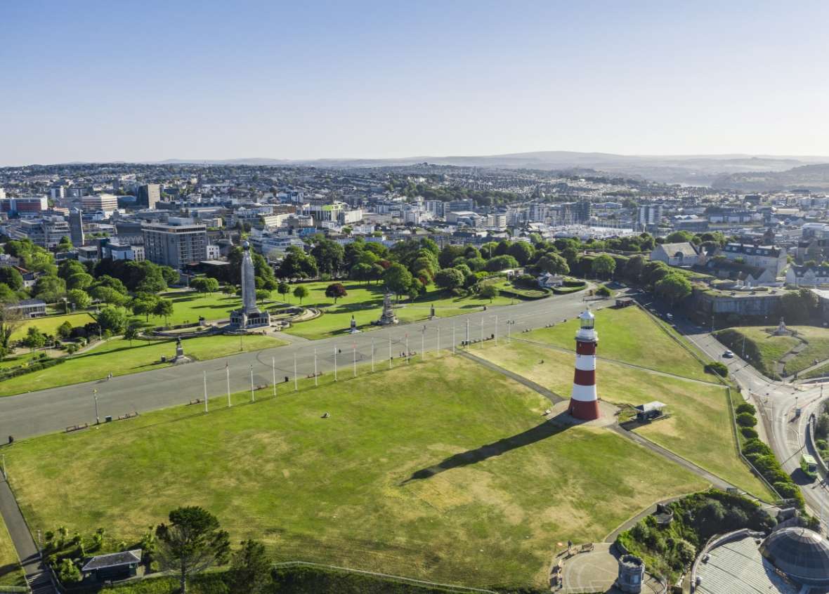
Plymouth is a city of around 260,000 residents, with the highest unemployment rates in the South West region. It is at risk from three main types of flooding: tidal, fluvial (main rivers) and surface water.
Plymouth is bordered on three sides by tidal waters: Plymouth Sound and the Atlantic Ocean to the South, the River Plym to the East, and the River Tamar to the West. It also has a large number of watercourses within the city including streams and brooks.
Due to the amount of hard surfacing within the city, which prevents rainwater soaking into the ground, the city relies on surface water sewers to discharge this water to surrounding watercourses and the sea. The majority of the sewers date back to the Victorian era so are combined, which means that they carry both sewage and surface water. When the sewers reach capacity, there is nowhere for the surface water run-off to go, which can cause flooding in low-lying areas that can affect property and infrastructure.
Due to the large amount of combined sewerage, the Environment Agency has identified most of the city as a “Critical Drainage Area”, which means that the existing drainage system is at, or close to, its capacity. With increasing population density and climate change causing sea level rise and worsening weather, the sewers are increasingly under pressure.
The Interreg-BRIC project has been working with two communities within Plymouth: Lipson Vale and St Levan.
Lipson Vale
The Lipson Vale catchment in Plymouth is heavily urbanised with steep sided valleys draining to a flat and low-lying area where surface water frequently overwhelms the drainage system. This impacts the highway network and creates flood risks to homes, businesses and schools. In the past, much of this area was a tidal creek, which has been in-filled and developed.
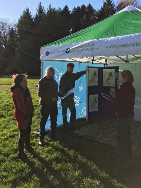
Proposed mitigation works in Trefusis Park aim to address frequent surface water flooding to properties and infrastructure in Lipson Vale by installing a surface water storage and ecology pond in the local park. Plymouth City Council (PCC)’s Buildling Resilience in Communities (BRIC) team have been engaging with the wider community to raise awareness of, and improve resilience to, flooding.
Trefusis Park, also known as ‘Tippy Park’ to the locals, is located in Compton Vale and extends down to Lipson Vale. Within the park there are mature trees and open space that is well-used and loved by dog walkers, families, schoolchildren and commuters.
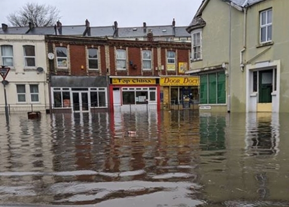
Alexandra Road, Lipson
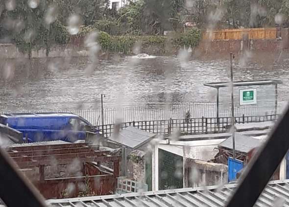
St Levan Park – August 2020 flood event
St. Levan
St Levan Park and the surrounding area is often affected by surface water flooding. There are very steep streets, which funnel the water down to low-lying areas around the park. The problem is worsened by a combined sewer system, which is often at capacity. That system can sometimes get tide-locked, which causes the system to back-up. As a result, the park often turns into a lake, as can be seen in the image! Local residents have reported that, after heavy rainfall events, raw sewage can be found within the park, which is dangerous and unpleasant.
St Levan Park supports an abundance of wildlife thanks to well established trees where bats can be seen at dusk. There is a small orchard with apple and pear trees that is looked after by the Friends of St Levan Group. The orchard is used to promote community events such as apple pressing, which are enjoyed by local children and adults alike.
Deliver a weather monitoring station in each area, to provide flood warning alerts to the flood action groups and to PCC’s highways and emergency response teams
Provide live data from the weather monitoring stations to local schools so that it can be used to support learning, particularly in relation to flood risk awareness and climate change
Encourage local volunteers to become flood wardens, who can help to raise awareness of and monitor flood risks in their community
Deliver training to support the flood action groups and flood wardens
Create and issue Digital Badges to members of the community who take part in activities, events and workshops and demonstrate their willingness to take action and become more prepared for flood events
Create a place story map with the community that not only explains the flood history of their area but also includes the social history and stories of local heroes and champions
Collaborate with the Environment Agency and South West Water Services Limited on capital schemes to deliver Sustainable Drainage Systems (SuDS) in the parks to ‘slow the flow’ of water and reduce the risk of surface water flooding
For more details on our activities and ongoing actions in this pilot site, please visit our Interreg-BRIC web platform bric-network page :