Authie Valley

Authie Valley

A marker of local identity, the Authie is a coastal river that marks the boundary between the departments of Pas-de-Calais and Somme. It runs parallel to the Canche and the lower bed of the Somme.

The valley is about 100 km long but it is not very wide, from 9 to 23 km maximum. Its geological formation explains this configuration. Oriented on a West/North-West axis, its sides are asymmetrical: on the right bank, the slope is gently sloping and on its left bank, the slope is much shorter and steeper.

The Authie has its source in Coigneux, about 100 m above sea level. After receiving the waters of its 3 tributaries, Kilienne, Grouche and Gézaincourtoise, it flows into the English Channel between Berck and Fort-Mahon via Authie Bay. The terms high, medium, low valleys and low fields are often used to find your way around the valley. It is according to the altitude at which the river is located that these four zones are delimited. Well-marked morphological characteristics correspond to these units. In the upper valley, between the source and the commune of Outrebois, the bottom of the Authie is narrow, the bed of the river is well marked and the slopes are quite steep. The middle valley which then runs to Dompierre sur Authie has a widening valley bottom. Up to the Falaise Morte near Colline-Beaumont, it is then the lower valley which crosses important marsh areas, the plateaus are low there. As you get closer to the bay of Authie, the slopes become less and eventually disappear so that the low-field area is finally practically at the same level as the sea.

Illustration: Villers-sur-Authie wetland
Illustration: view of the "Authie" stream in Auxi-le-Château

Issues & Objectives

The CPIE Vallées de l'Authie et de la Canche is above all a Resource Center for the Territory. It is a place of exchange, dissemination and provision of information, data, experiences, a network of partners and technical skills made available to you at the territorial level.

The CPIE is a real platform for exchanging information and know-how in the field of sustainable development, allowing information, training or advice.

With its skills in supporting territories, raising awareness and educating everyone about the environment, the CPIE can provide you with:
- appropriate advice;
- technical documentation on specific topics;
- support in setting up the project;
- specific training.

Challenges

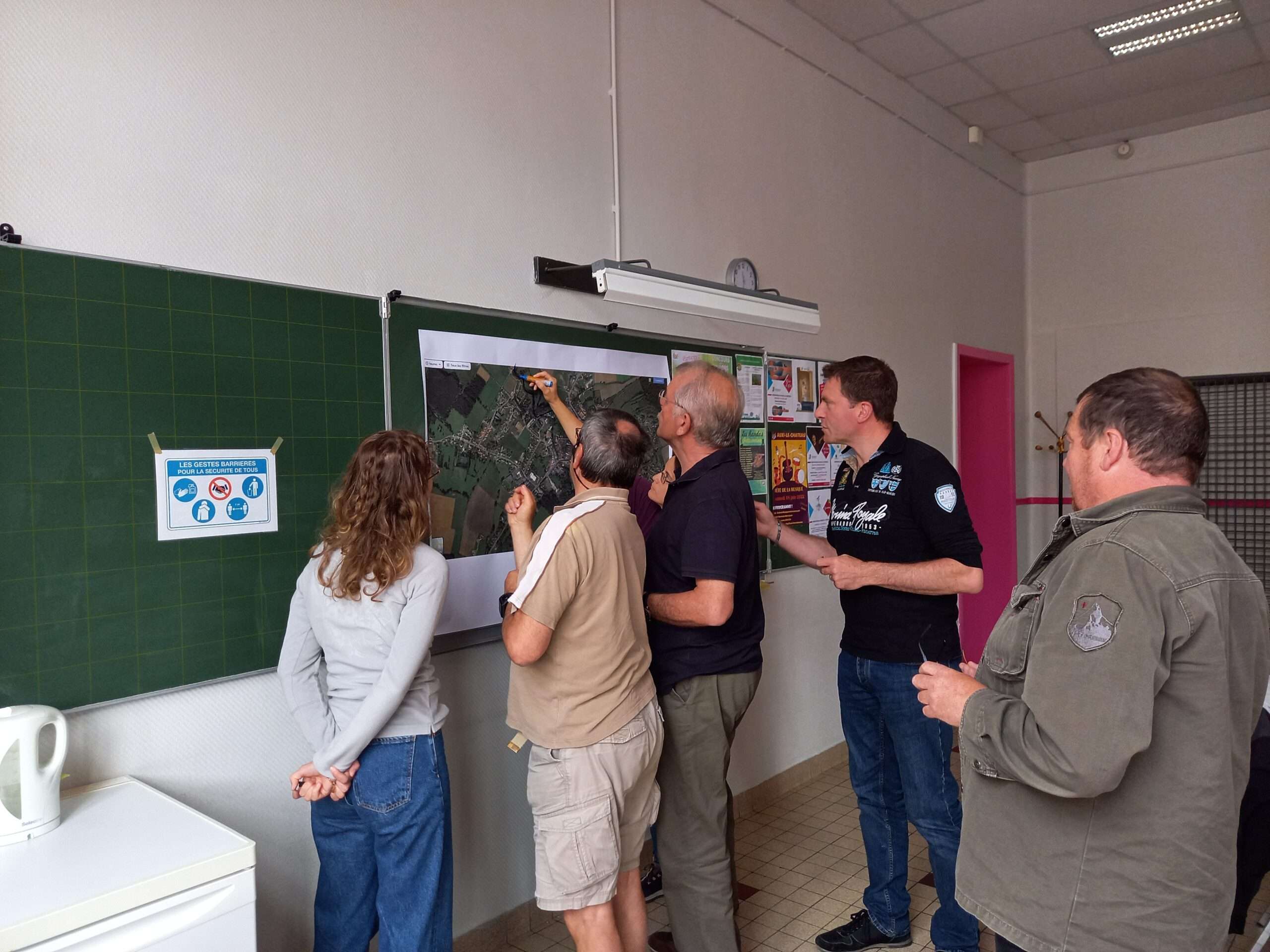
This Resource Center is aimed at all players in the area: local authorities (elected officials and technicians), associations, companies, schools, individuals.

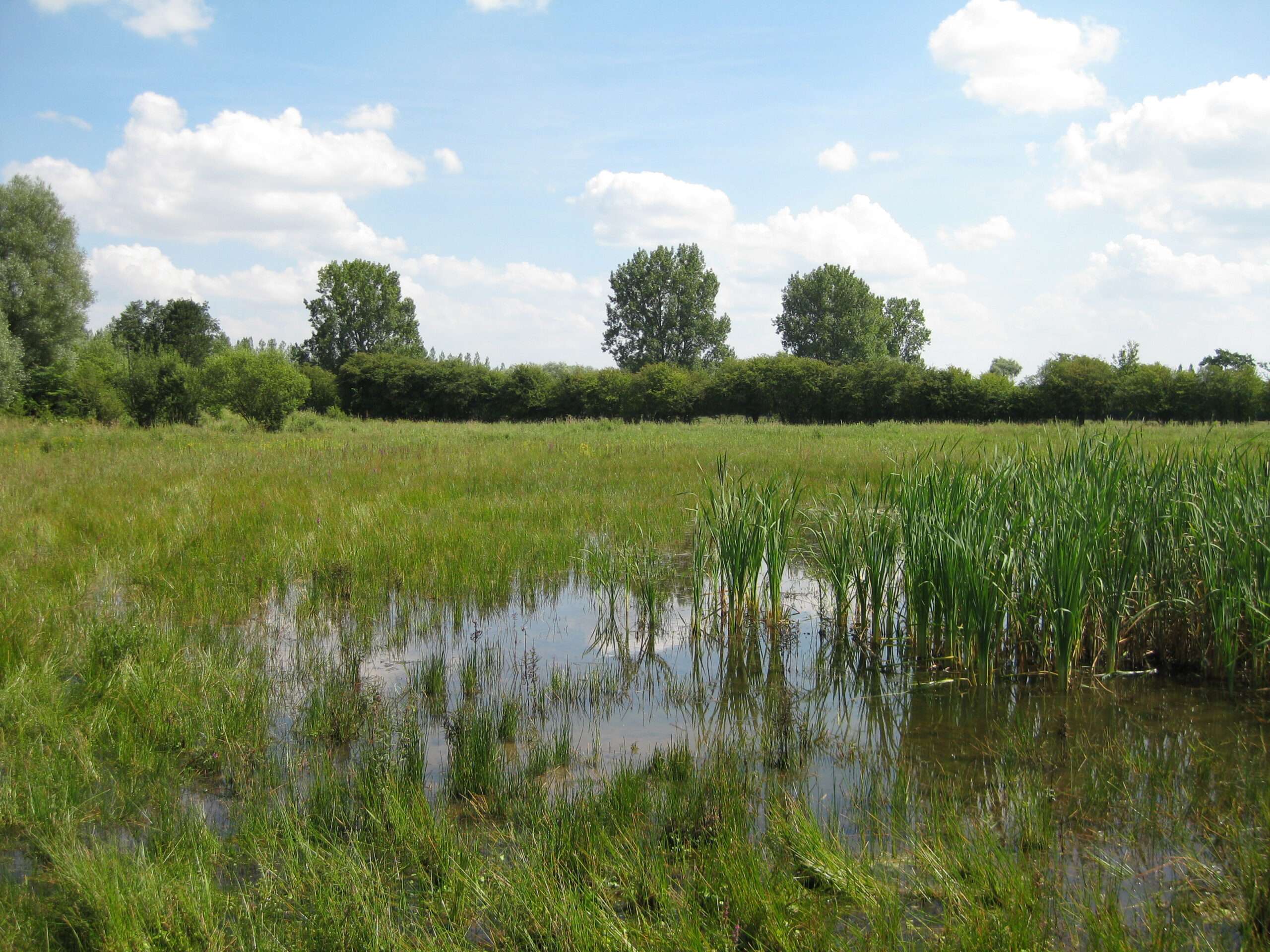
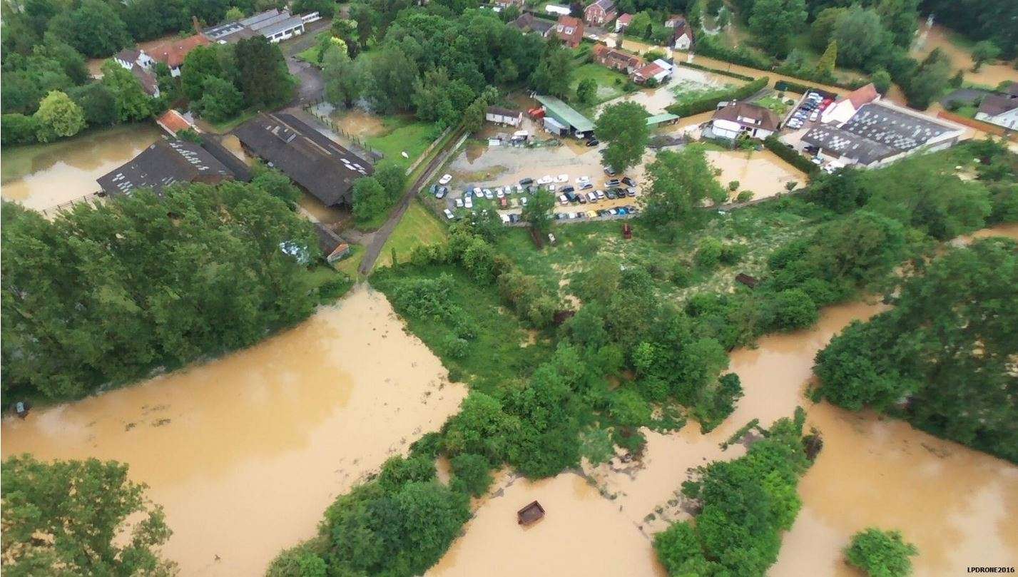
The CPIE is structured around three areas of activity: raising awareness of the environment and sustainable development (reception of classes staying, educational outings, activities for the general public, etc.), training (professionals in animation, professional integration, building trades, environment) and support for territories (watercourse management plans, Green and Blue Infrastructures, town planning documents, fauna/flora inventories, etc.).

Illustration: Flood in Occoches in 2016

Floods in the Authie valley

In the Authie Valley, as everywhere else, floods are becoming more frequent and intense. After the major floods of 2001 or the floods of summer 2016 which led to the death of a motorist, and more recently the mudslides of 2021, the Authie Valley is particularly vulnerable to flooding due to the topography and geology of the territory.

There are different types of flooding: flooding by runoff, by marine submersion, by the rising of the water table or by the overflow of watercourses.

In the Authie Valley, as everywhere else, floods are becoming more frequent and intense. After the major floods of 2001 or the floods of summer 2016 which led to the death of a motorist, and more recently the mudslides of 2021, the Authie Valley is particularly vulnerable to flooding due to the topography and geology of the territory.

Interreg BRIC : un projet pour rendre notre territoire plus résilient

By committing to the Interreg BRIC project, the CPIE Vallées de l'Authie et de la Canche and Cerema wanted to raise awareness among the inhabitants of the valley of the risks of flooding, in particular the risk of runoff.

The main objective of this project is prevention and resilience, populations must be prepared to face such events, prepared to act; this is the aim of the CPIE / Cerema partnership.

For this, close contact with the inhabitants appears essential. By continuing the BRIC project in a formative and educational approach, keys to understanding natural risks will be provided to these populations.

Illustration: participatory workshop and identification of risk areas

For more details on our activities and ongoing actions in this pilot site, please visit our Interreg-BRIC web platform bric-network page :

Collaborators

Pilot Site lead