Weymouth
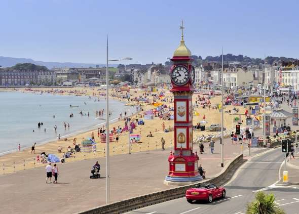
Weymouth has a population of around 53,000 and is a traditional seaside resort heavily reliant on tourism and seasonal employment. The town has a long history of flooding and experienced some of the worst flooding events in the 1950s and 1960s, when large quantities of water inundated areas including roads and buildings. The most recent flooding was in 2014 during repeated coastal storms.

Issues & Objectives
In Weymouth there are four main areas of flooding risk: (1) Tidal flooding via Weymouth Harbour; (2) Fluvial flooding via the River Wey; (3) Surface water flooding due to rainfall (exacerbated by tide-locking); and (4) Wave overtopping of the seafront
With the impact of climate change leading to rising sea levels and an increase in the number of and intensity of storms, the risk of flooding in Weymouth will greatly increase. The existing harbour walls are already too low to protect Weymouth from major flood events and the sea level in Weymouth is expected to rise a further 1.3m over the next 100 years. For example, it has been estimated that by 2115, 1,600 properties will be at risk of tidal flooding around the harbour alone.
Weymouth also includes areas that are the 10% most deprived of England, with high levels of people on low incomes, multiple-occupancy households, transient populations (people who stay for short periods of time) and people living with disabilities or long-term illness. This can impact on how Weymouth’s community responds to flooding events in terms of awareness, preparation and coping in the aftermath.
Main Outputs :
- Weymouth has many existing and long-established support networks as well as a strong sense of community. The aim is therefore to work alongside what is already in place and to respond to what the community wants and needs, through engagement, creating awareness, training and providing educational and informative tools and guidance.
- The BRIC Weymouth project will run until March 2023 and its aims are to:
- Engage communities in Flood Risk Management and increase flooding resilience
- Develop a joint approach, linking local communities, expertise and policy makers
- Raise awareness by working with community networks to develop Flood Champions trained in safety measures and incident reporting
- Employ novel approaches, such as a public information totem designed by one of the programme’s partners OgoXe, providing up to date community information on flooding and coastal erosion
- Work with partners to develop an interactive web platform to provide local data and information alongside guidance, good practice and education materials to support town-wide flood risk management
For more details on our activities and ongoing actions in this pilot site, please visit our Interreg-BRIC web platform bric-network page :
Collaborators


