![]()
![]()
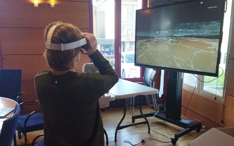
A flood model has been integrated into a virtual reality application in order to raise awareness of the risk of flooding at the BRIC Project’s Pont-Audemer pilot site.
This flood model is based on the rapid flood mapping developed by a Cerema research team in the framework of BRIC.
The virtual reality application was developed by Marelle Studio for Cerema between June and December 2022.
It can be used with a virtual reality headset or a smartphone, and allows you to visualise a rise in water levels at a given location on the Quai de la Ruelle in Pont-Audemer.
Two scenarios are visible:
- The historical flood observed in 2001 (average flood).
- a very rare (probability of 1/500) and intense flood.
A welcome portal allows the user to choose the scenario. The user can test the application on the site concerned by the simulation and move around while visualising the rise in water levels.
They can also view what is happening at the modelled site from any test location and move around the virtual neighbourhood from viewpoint to viewpoint.
The user is immersed in a visual virtual environment, including detailed 3D models of buildings, trees and roads, and in a sound environment.
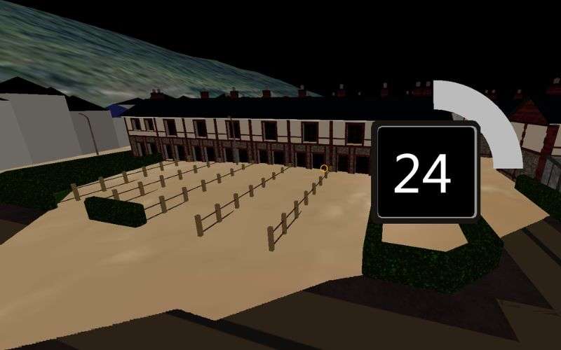
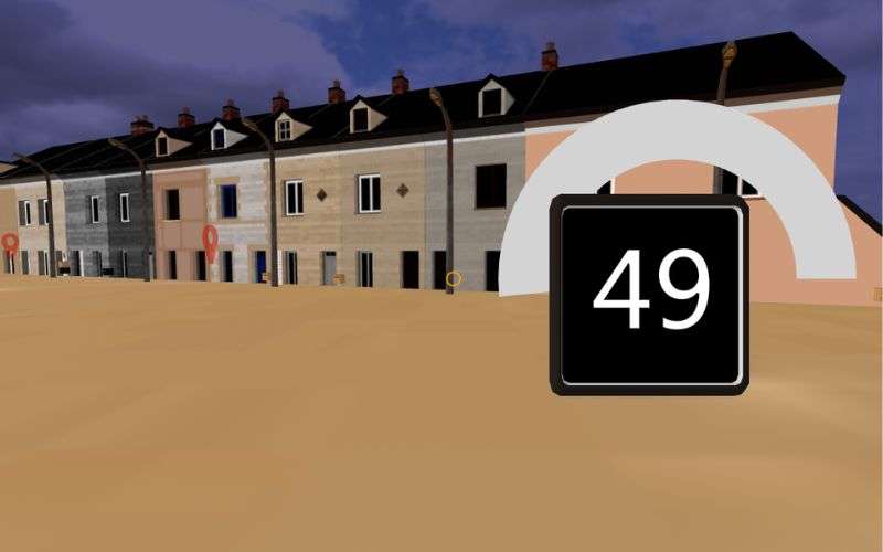
Screenshots of the virtual reality application during a simulation on the Quai de la Ruelle