![]()
![]()
Interactive tool launched for sharing flood photographs of the Aulne valley
As part of the BRIC project at our Aulne valley pilot site, Cerema and Ogoxe have co-created an interactive and collaborative map on floods in this area of France.
This collaborative map is a digital map in Geographic Information System (GIS) format, allowing to capitalise and share geolocalised information related to historical floods of the Aulne valley.
It makes information available (flood zones, flood markers) and primarily photographs of historical floods, but also collects new photographs with the possibility for everyone to submit photographs to complete the existing map via an edit button.
The objectives of the collaborative map are to raise awareness of flooding, to pass on the memory of past events to newcomers, but also to encourage inhabitants to share their testimony and knowledge.
It is available online on the BRIC platform and is also accessible in the Aulne Valley Storymap.
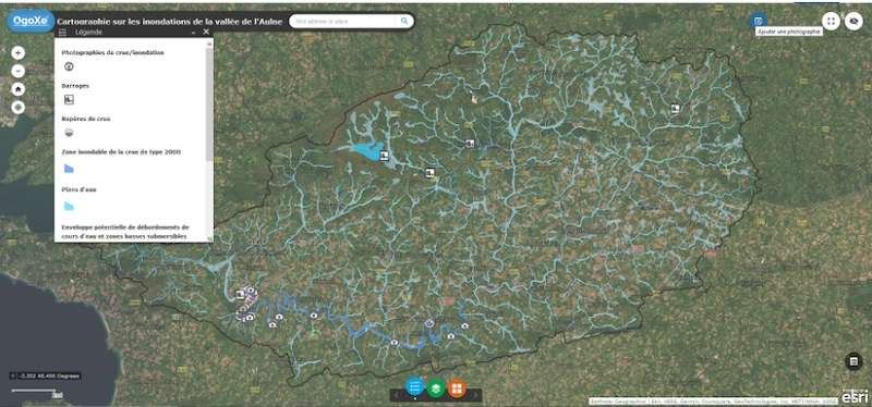
If you have photographs of floods and would like to share them, simply click on the ‘Add a photograph’ button in the top right and fill in the location and year to view it on the map.